Weather: Sunny and warm
Distance Walked: 13.63 km
Distance By Tube: 9.58 km
Stations Visited: 5
Fantastic Place: Pitshanger

 | |
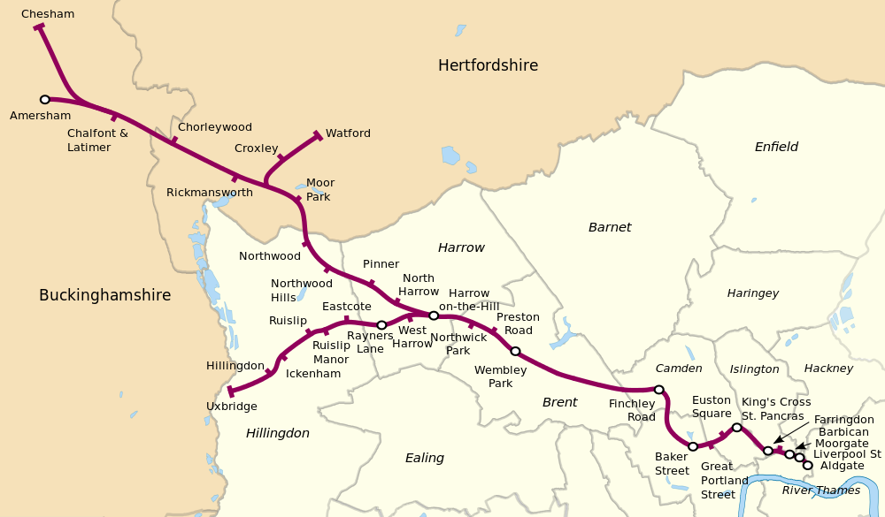
| The five stations on this walk |
After a long gap between walks up to the previous episode, we have two in three weeks! This time I'm walking through some areas I know quite well. After walking over Horsenden Hill from our house down to the canal I passed the station and walked over the busy A40 (again).
 |
| Cow Parsley beside the path over Horsenden Hill |
 | |||
| The Hoover Building from the A40 footbridge |
Once over the A40 the path runs on a path between golf courses and over the River Brent, which looks very pleasant at this point rather than the concrete banked monstrosity it becomes later.
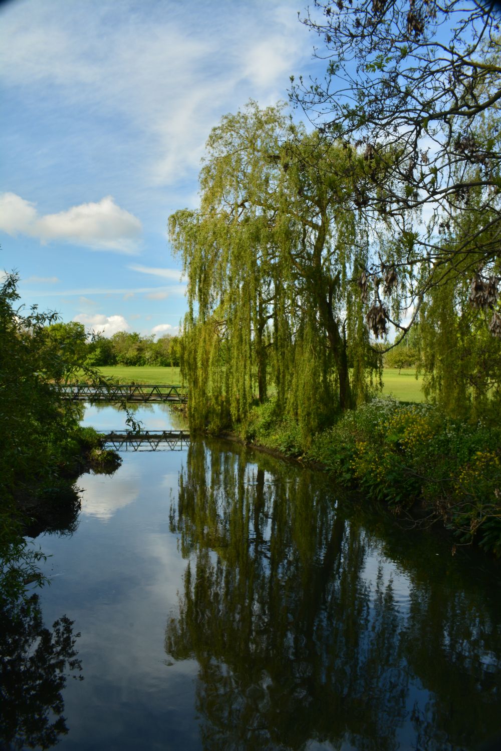 | |
| The River Brent |
I don't normally like golf courses on my walks but this one was nicely landscaped with the river running through it. It runs past the pretty little church of St Mary with it's neat white painted planked exterior.
 |
| St Mary's Perivale |
It wasn't long before I emerged into Pitshanger Park. This nice park was busy with joggers, some pushing prams and walking dogs all at once which is multitasking to the max! The small cafe was very busy with parents who have brought their children for tennis lessons. I have happy memories playing cricket with my young god-twins when I was still able to beat them (they have become quite talented at it!).
 |
| Pink Hawthorn in Pitshanger Park |
Pitshanger itself is lovely, no other word for it. We often pop up if we want to do a bit of shopping as it has an independent bookshop, a fishmonger, a butcher, a baker and lots of coffee shops and a nice pub. Back from the bustling high street, the roads are lines with pretty houses which are part of the Brentham Garden suburb built in the early part of the 20th century. Each has a small but well maintained garden but no off street parking which must be a nightmare with people coming to the area to shop (yes, that includes us!).
 | |
| Typical Pitshanger Garden |
Leaving the charm Pitshanger behind the walk moved towards Hanger Lane, a nightmare of a junction between the A40 and the North Circular roads along with a couple of other routes. The fumes and noise of heavy traffic replaced the birdsong and flowers of the gardens.
The station itself is situated at the middle of the Gyratory and there is a maze of tiled of passages under the station and unsurprisingly I came out the wrong one and stood around looking lost for a while. I thought it was bad going round it in a car!
After eventually finding the correct route I passed through another small park and new residential development before entering the rather depressing light industrial area of Park Royal (boy am I'm looking forward to going through this again on my Piccadilly Line walk).
 | ||
| Someone has made an effort amongst the grimness |
Eventually the industrial desolation is left behind and I arrived in North Acton. This area has undergone a lot of development with lots of tall residential blocks being built over the last few years.
 | |
| North Acton or Manhattan? |
Once I found my way out of the crazy labyrinth of the building sites to find some way across the A40 (again) the walk got better as the route led through a small park and then the strange area of "Tudorbethan" houses that are very popular with the Japanese. There are specialist food shops, schools and so on dedicated to the large population of Japanese that live here.
 |
| A Tudorbethan building |
The walk then became more and more familiar as I approached Ealing Broadway as we used to live here before moving to Greenford and before long the modern Ealing Broadway station appeared. It has been enlarged and redeveloped to cope with the Elizabeth Line extension and is now a lot less crowded than it was when it was our local station.
Next leg I'll return to North Acton and head east into the city where I will probably encounter more building sites and the A40 again!