Sunday, 7 August 2022

Tracking the Tube: Victoria Line 2: Walthamstow Central to Kings Cross


Weather: Blooming Scorching!
Distance Walked: 17.85 km
Distance By Tube: 11.4 km
Stations Visited: 7
Fantastic Place: Woodberry Wetlands


Only 7 stations so I've added the old H&I station for fun.
 
My tube walks are sadly becoming annual events rather than monthly as they used to be. I need to take time out to do more a year, perhaps shorter legs rather than the long ones I've done in the past. 

Today saw the completion of the Victoria Line and I was pleasantly surprised by what I found on this hot sunny summer day. Those of you paying attention may have notice that this year has been one of the hottest and driest on record (a week or so ago we hit 40c which was rather too warm for my tastes!). So the 27c temperature and clear blue skies were not a surprise, I was thankful for the modern water fountains installed by our current London mayor so I could top up my water bottle at regular intervals. Patches of grass on roadsides and parks were a uniform khaki colour and trees, especially horse chestnuts, were already shedding leaves.

The walk started in Walthamstow, former home of William Morris, there is still a museum dedicated to him near the start of the walk. One striking feature of the area are bollards.Most of them seem to have been dressed in woolly jumpers to protect them from the cold - they must have been sweltering in the heat!

Bollards keeping warm

Walthamstow - proud of its heritage

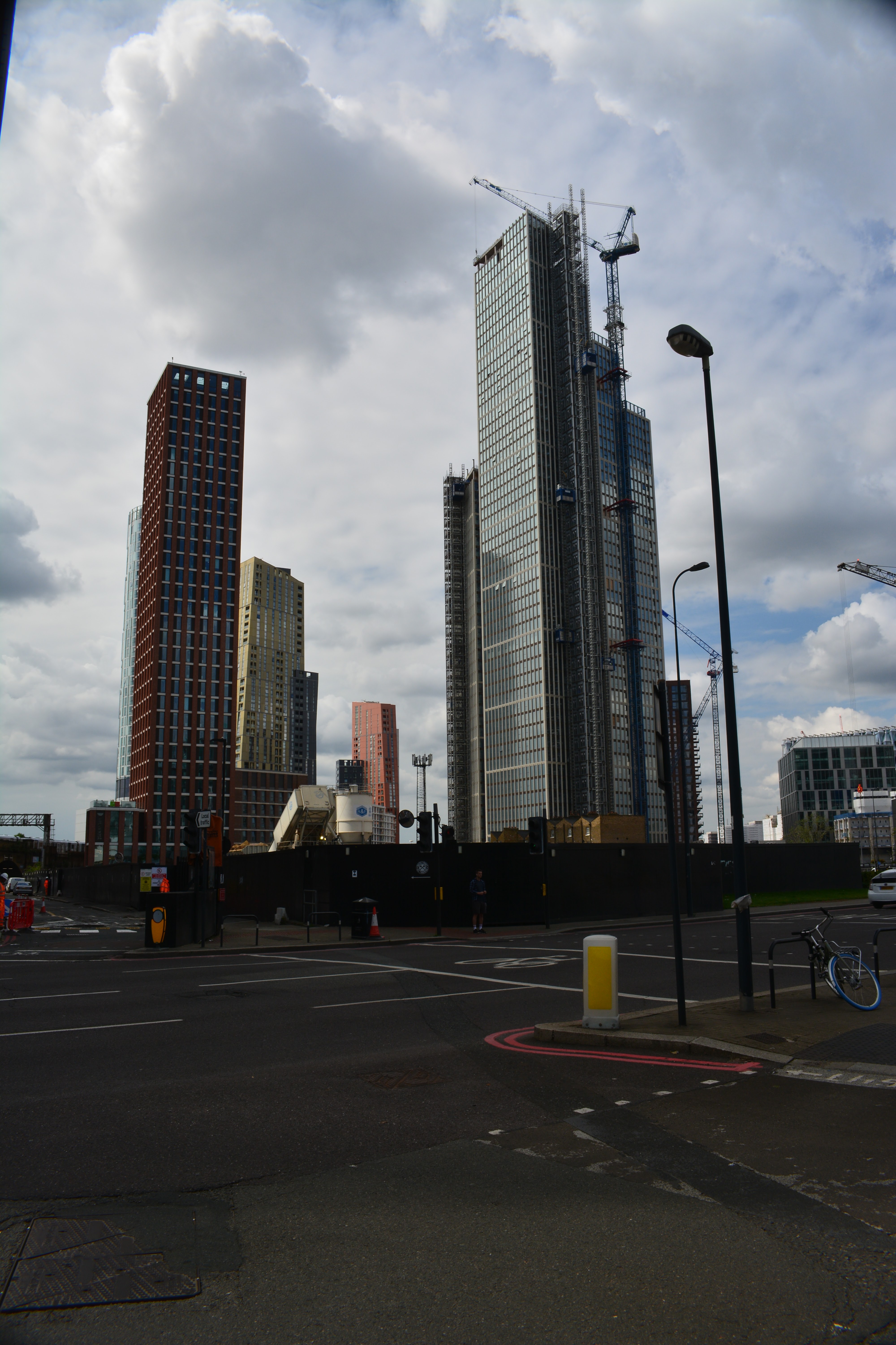
Just past Blackhorse Road station, where there are a lot of new residential tower blocks being built the route continues along a level, straight causeway between two large reservoirs, part of the Lee Valley Reservoir chain. These provide drinking water for London and are also now a important site for water birds such as cormorants. I could see there were footpaths leading around the edges of the water which may make for an interesting visit for the future. On the west side of the reservoirs is the Walthamstow Wetlands. Even from the side of the road I could see that this would be a great place to visit if you like wetlands and wildlife (also a nice looking waterside pub!).
 
Heron on guard duty

 More building and development could be seen near Tottenham Hale station and much light industrial. At this point I should mention that the stations on this leg are nothing to write home about architecturally - the 60's eh!
 
The next leg along Seven Sisters Road was fairly grim, I may have gained a kilo from all the pollution I breathed in so I was quite glad to turn off the road and go rural for a bit . In fact the next section was one of the best bits of any of my tube walks so far. The Woodberry Wetlands is a little lung in this polluted and overcrowded part of London. Two large reservoirs and waterways with birds and plants providing a welcome respite. It also provided lunch at the Coal House Cafe.  I had a very nice cup of coffee and a cheese and fig chutney toastie that set me up nicely for the rest of the walk. The cafe and the wetlands are well worth a visit and are only a short walk from Manor House station (Piccadilly Line - hmm perhaps I will pop in again when I do that line!)


The wetlands have been built in conjunction with a housing development, lots of flats with balconies overlooking the water and a rather nice water feature.


It was back to the Seven Sisters Road for the next station Finsbury Park and the more suburbia before a detour to one of the temples of football the old Arsenal football ground at Highbury (the other is of course the magnificence that is Fratton Park home of the mighty Pompey). Now converted to flats the listed stands still tower above the streets. Down the hill the new Emirates stadium can be glimpsed awaiting a future walk. 

 
The path continues through Highbury Fields, very nice open space but looking very scorched and brown in the sun at the moment. I then got rather twizzled around at Highbury and Islington station, the heat getting to me at last! The last few kilometres were a bit of a grind at the end of a long hot walk but I did pass through a very pretty square surrounded by flats, possibly Edwardian in age which had very nice Gothic details around the windows and doors. 

So that brings to an end the Victoria Line. Now to decide which of the remaining lines to do next and how to break them up in a sensible way!


Friday, 6 August 2021

Tracking the Tube: Victoria Line 1: Brixton to King's Cross


Weather: Warm, Overcast, Humid
Distance Walked: 15.40 km
Distance By Tube: 9.85 km
Stations Visited: 10
Fantastic Place: GPO Tower


Another strange year, but things seem to be getting back into some sort of order. As before, working five and sometimes six days a week mean that I have less time for walking. Especially during the spring and summer where the garden takes priority. 

I briefly considered trying to do the whole line in one go but soon realised that this wasn't going to work with me being out of practise so instead a walk from Brixton to King's Cross was planned.

Brixton was sunny, busy and buzzing. We tend to visit Brixton before catching a bus to the Dulwich Picture Gallery so the streets around the station are familiar. I've also been reading a book on the old river Effra that was converted into a sewer in the 18th and 19th century but still runs beneath the main Brixton road.

This part of London south of the river is one of 'my London' areas. I spent a lot of time working out of an office in Vauxhall and occasionally I would pop down to Stockwell to use the post office as that was the nearest to the office. There are some nice streets and houses in this area especially Lansdowne Circus with a nice green space and attractive mid-19th century houses.  

One of the highlights of this walk is the number of examples of great 20th century architecture. The first of these is the Stockwell Bus Garage which when it was built in the 1950s was the largest unsupported roof span in Europe.


Vauxhall cross and the area around it has changed a lot since when I worked here some five or six years ago. Long gone are the Cap Gemini offices, replaced by tower blocks and building sites. The area is now close to the American embassy and the Northern Line Extension stations down to Nine Elms and Battersea.


The bus station here is under threat which is a shame as it is an example of early 21st century design that has some merit.

Continuing across the Thames via Vauxhall Bridge, a route I used to take when visiting one of the clients I worked for while at Vauxhall and also when the tubes were playing up!

The area around Pimlico is also well known from visits to Tate Britain and it has an underpass with some good painted tile murals depicting art from the gallery. Victoria and the streets around the station were busy, almost as busy as normal and with the sun shining Westminster Cathedral looked very attractive in all it's stripy glory. The crowds were also present around Buck House taking photos and I couldn't help but join them!


Green Park was a breath of fresh air, the shaded walks offering some respite from the hot polluted air of this part of central London before tackling the area around the Royal Academy and the posh shopping streets of Bond Street and the less posh streets around Tottenham Court Road and Oxford Street.

Continuing north it took me a little while to find the foot of the Post Office Tower, the close you get the harder it is to spot the tower (which for a long time was left off maps as a security measure) in the canyons of ugly mid century office blocks and shops. Eventually I found it in a narrow street and was surprised that such a narrow foundation could support the tall tower.


On the way to King's Cross I walked through the back streets away from the throngs along Euston Road and passed the Welcome Collection where they had a display of poems on the subject of COVID and the lock-down.

This leg of the walk ended at King's Cross and I'm already looking forward to the next stretch up towards Walthamstow. 

The walk was also notable for some great streat art.


Tuesday, 30 July 2019

Tracking the Tube: Jubilee Line 04: Neasden to Stanmore


Weather: Very Warm
Distance Walked: 17.01 km
Distance By Tube: 10.2 km
Stations Visited: 6
Fantastic Place: Canons Park


Another year and finally I've completed the Jubilee line.

Guess who forgot to photograph Stanmore Station!
I wasn't looking forward to this leg. From the map it looked like a tough start finding a route next to the very busy North Circular Road and then on through a busy industrial area. This would be followed by lots of dull suburbia walking beside more roads. Now that I only do a few walks a year I'm getting more fussy about the ones I do do and in some ways I resented that this would be possibly one of my final walks of the year.
I wasn't wrong about the start! Grim walking by very busy roads with lots of pollution. At least I had scanned Google Streetview for the start and spotted the alley that took me alongside the A406. Then more walking through light and medium industrial areas, including cement works, and building site after building site. But even here there were moments of beauty, a trailing passionflower draped over a metal fence and a sculpture of a dandelion clock over the River Brent. 
Don't think I'll blow on this one!

The Brent looking rather pretty
I would have liked to get closer to Wembley Stadium but the whole area appears to be one large construction site where flats and apartments are being built in their hundreds if not thousands. I managed to glimpse the arch and had a view back along Olympic Way but that was about it. Some day I will go to a match at Wembley, I can see it from the windows of our loft bedroom and when lit up I can see it when I walk up the hill from Greenford Station, but despite living in London for 30 years I've 'not got round to it.'
The Arch

Olympic Way

New hotel going up alongside Olympic Way

Once past Wembley Park station things got a lot better, less building sites and nice front gardens. Even better was the open expanse of Fryent Country Park. A gentle climb to a ridge that overlooks this part of North London. 
Unlike Kate Bush I was not running up that hill

Damsons

This is London
Lots of mature trees and wide open spaces. At this time of year the hedgerows are full of blackberries, apples (probably from discarded cores) and damsons. Flitting round theme were lots of butterflies, moving to fast to photograph or identify though one might be a small brown. Several very happy dogs being taken for a walk seemed to be enjoying the summer sun and my spirit began to lift. After finding the way out of the park I dropped down into Kingsbury with it's busy row of shops where everyone appeared to be out. Lots of Asian and Caribbean shops with stacks of fresh fruit and vegetables, Asian sweetshops with their pyramids of golden delicacies and everything else you need on a high street. 

Continuing north towards Queensbury via the very attractive Queensbury Park where they have a set of outside exercise equipment. I think these are a good idea, shame they weren't in use. The park also had a nice wetland area with a pond nestling in the centre. The reeds and flowers were busy with dragonflies. with swifts flitting across the water hunting for insects.
Urban wetlands - a vital resource for wildlife

After Queensbury station, a smaller quieter version of Kingsbury, I continued north to Canons Park station and the park of the same name beyond it. This turned out to be the highlight of the walk even thiugh the walled George V memorial garden was closed.


Geoge V Memorial Garden

More building works around Stanmore station, this time for retirement flats, and then a handy bus home after what turned out to be a very pleasing walk.  
So another line has been completed so I'll need to give some thought to what I do next. Waterloo and City for a quick jaunt during the winter? The H&C line, most of which has been done as part of other lines? The Victoria Line which should be able to be knocked off in a couple of days? Or the more substantial PIccadilly Line where it doesn't run alongside the Met Line given that the Central line is being left last? Answers on a postcard to the usual address!

Wednesday, 15 May 2019

Walking The Thames Path: Section 1: Source to Cricklade


Weather: Sunny, Very Warm
Section Length: 19.7km
Fantastic Place: Ashton Keynes


The Route
Background
The Thames has played a large part in my life. I've lived in London for over half my life now and most of the IT projects and companies I've worked for have been on or near the Thames. My family grew up in Stroud so the Cotwolds were often a holiday destination for me as a child and I still visit there today to see some of those relations that didn't emigrate to Australia. Given that it is a bit strange that I have not formally walked any of the Thames Path. Sure I've walked part of in while going to work, visiting galleries and museums and some sections formed part of the LOOP, especially out towards the east of the city. As a supplement to my Walking the Lines project, I thought I could add the Thames Path to my list of walks. It is unlikely that I will walk it in any structured way, or in any particular order. The western sections will be done while on holiday in the Cotswolds while the London sections will be done possibly during the winter, hopefully dragging Liz along with me.
However, it seemed to make sense by starting the project with the first section while we were on holiday in Stroud.

Finding the Source
A journey of 294km starts with a single step or so they say and this first step was taken in the carpark of the Thames Head pub where Liz dropped me off so she could enjoy a day of browsing and letter writing in Cricklade where I would meet her later. So the start of the walk was alongside the rather busy A433 which follows the line of the Roman Foss Way. Glad to be off the major road I was then confronted with a foot crossing across a high-speed railway line. Fortunately, views in both directions were good and I was able to cross without difficulty. During my walk along the LOOP, I occasionally had to cross busy roads at the end of a long walk and getting any sort of sprint at that stage was much harder!

The path to the source of the Thames is unclear and there was no sign of any water, just a lot of cows. Then I glimpsed in the distance a stone block that looked promising and soon I was standing at the official source of the Thames.
It's all downhill from here.

Move along, nothing to see here.
 A small depression lined with stones which occasionally after a very wet season will contain the start of the Thames. Looking back along the meadow I could just make out a small dip that would be the path of this infant stream that eventually flows out into the sea nearly 300km to the east.

After dribbling a few drops of water from my bottle onto the stones I headed off east. The meadow was full of cows and the surrounding fields golen with oil seed rape.

Spot the Thames

None Shall Pass

Liquid Gold

The path leads back to the Foss Way and on the other side the path of the Thames is better defined and you can imagine water in it if there had been a wetter winter and spring than the one we had this year.


Just a few hundred paces after the road I could see water in the stream bed. The famous Lyd Well is often the first point where water reliably bubbles up into the Thames. A bit further on the Thames had become a proper stream, shallow and wide but flowing over a pebbly bed and crossed by a bridge.

First Proper Bridge

The Infant Thames
The Lakes of Ashton Keynes
The path follows the meandering stream closely for the next few kilometres through woodland redolant with wild garlic, past ponds with flag iris lining the banks and under powerlines striding across the landscape.


The pretty village of Ashton Keynes is surrrounded by numerous lakes, created by gravel extraction and now flooded and used for fishing and other leisure activities. Some of these lakes are fringed with gated communities and there are a lot of Private signs that don't add up to a relaxing walk. Ashton Keynes itself is a small but very pretty Cotswold stone village where the Thames flows through a stone lined channel, the first sighting of the river for some time, the channel having been swallowed up by the lakes, and the last for a while as more lakes follow on the otherside of the village.


The Thames near Ashton Keynes
At this point I was getting a little tired of the zig-zagging between the lakes but I was amused to see a sign warning of quicksand!
Cricklade - Twinned with Mos Eisley
We had visited Cricklade once a couple of years before as we drove back to London from an Autumn break. When I pointed out the young Thames Liz wouldn't have it, until I pointed out a plaque on the bridge. Before this walk Liz read me a section of William Cobbett's "Rural Rides" where he described Cricklade in 1821 as "a more rascally looking place I never set my eyes on." All I can say is that he had not been out much! The approach to this small town is across a wonderful wildflower strewn meadow which has been protected as a wildlife reserve since the 1970s. Cricklade itself is quite pretty with a number of historic pubs, some useful shops and a very nice cafe where I had a welcome drink and late lunch with Liz while I considered when I'd be able to tackle the next section down to Lechlade.